Ponta de São Lourenço (PR 8)
The easternmost point of Madeira, where the island dramatically ends, but the views just keep getting better!

Area

Caniçal
Difficulty
Moderate
Distance & Duration
7,5 KM
Accessibility
Car or Bus 133 (SAM)
Track & Elevation
Once you click the play button, you can download the GPS file from the menu in the upper-right corner or even use life tracking.
Disclaimer
Important Notice!
By using this website and participating in the hikes described herein, you agree to the following terms and conditions:
- Assumption of Risk: Hiking can be a potentially dangerous activity. While we strive to provide accurate and up-to-date information about the hikes, we cannot guarantee the safety of any route. You acknowledge that you are participating in these hikes at your own risk. We are not responsible for any accidents, injuries, or fatalities that may occur while following the information provided on this website.
- Tunnels: Some hiking trails may include tunnels. It is imperative that you bring a flashlight or other adequate lighting to ensure your safety while navigating these tunnels.
- Equipment: Proper hiking shoes are essential for your safety. Always wear sturdy, reliable hiking shoes to protect your feet and provide the necessary support on uneven terrain.
- Notification: Always inform someone of your hiking plans, including the specific trail you intend to follow and your expected return time. This is a crucial safety measure in case of emergencies.
- Trail Conditions: Be aware that some parts of the trails may be impassable due to earth slides or other natural occurrences. Exercise caution and be prepared to turn back or take an alternate route if necessary.
- Liability: The information provided on this website is for general informational purposes only. We make no representations or warranties of any kind, express or implied, about the completeness, accuracy, reliability, suitability, or availability with respect to the website or the information, products, services, or related graphics contained on the website for any purpose. Any reliance you place on such information is therefore strictly at your own risk.
By proceeding with any hike described on this website, you agree to indemnify and hold harmless the website owners and contributors from any claims, liabilities, damages, or expenses (including legal fees) arising from your participation in the hikes.
Stay Safe and Enjoy Your Hike!
Good To Know
Welcome to the easternmost point of Madeira — Ponta de São Lourenço — where the island dramatically ends, but the views just keep getting better! If you’re planning on exploring Madeira’s east coast, this is your must-see spot. And by must-see, I mean prepare to have your socks knocked off by the breathtaking, panoramic views of both the north and south sides of the island. Yes, you get both sides — it’s like a two-for-one special in natural beauty.
This rugged, volcanic peninsula stretches a full nine kilometers, which is quite a show-off move by nature. At the end, you’ll find the Ilhéu do Desembarcadouro (or Ilhéu da Metade for short, because who needs a long name?) and the Ilhéu do Farol — named for the lighthouse that probably has the best job in the world, just hanging out there with incredible views all day long.
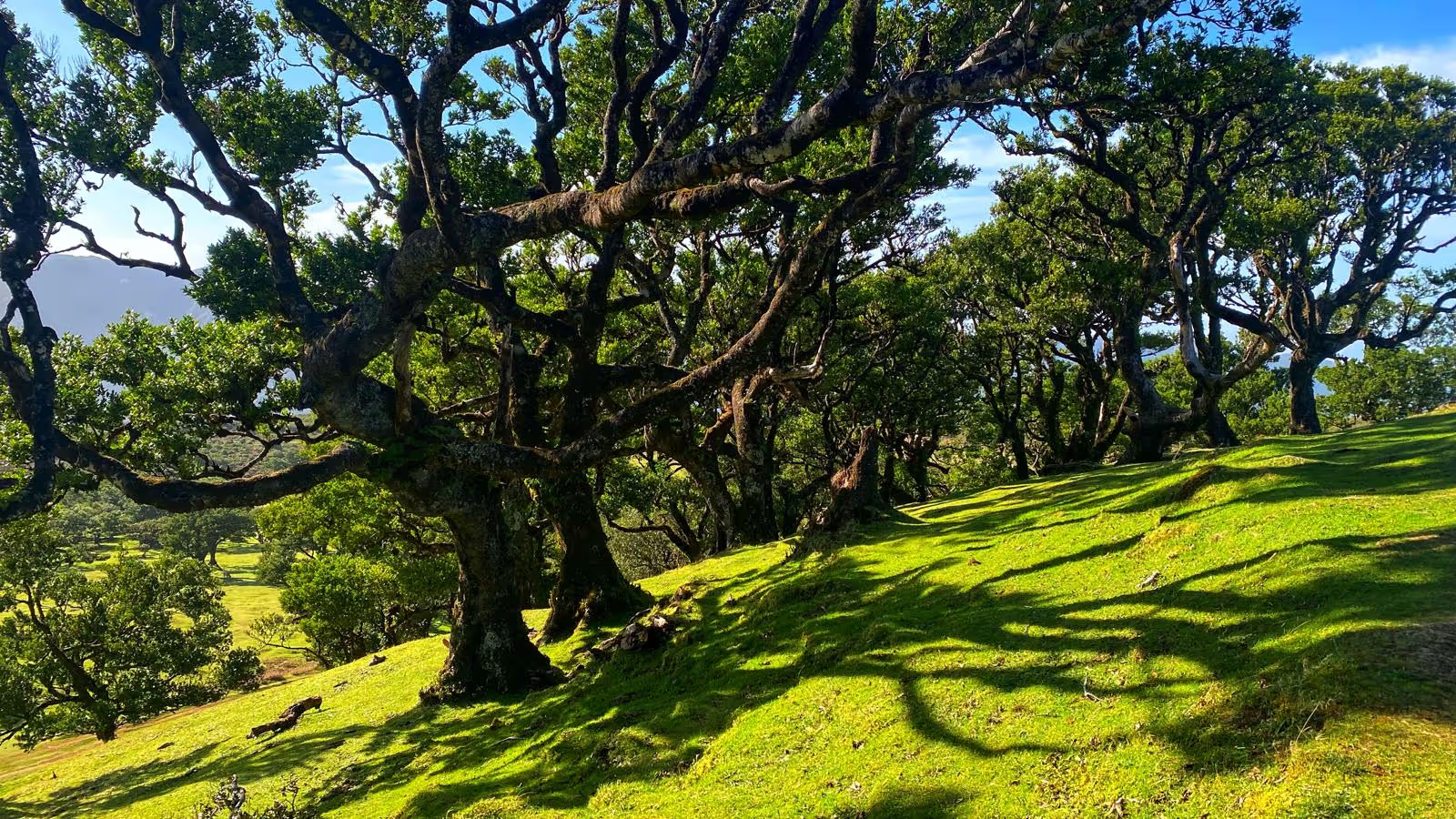
Now, you might notice something unusual here — there are no trees. None. Zip. Instead, the landscape is covered in low, scrappy vegetation because this area is semi-arid and constantly battered by northern winds. So basically, it’s Madeira’s wild, wind-swept cousin that’s a little rough around the edges but still beautiful in its own way. If you were expecting lush forests, surprise! You’re in the wrong part of the island. But don’t worry, the raw, dramatic cliffs more than make up for it.
Ponta de São Lourenço is also a Partial Natural Reserve, which means it's not just a pretty face — it’s got serious environmental cred too. Rare plants? Check. Protected seabirds like the cagarra and alma-negra? Double check. And if you’re really lucky (and possibly equipped with binoculars), you might even catch a glimpse of the island’s most elusive resident: the monk seal, or as I like to call them, the VIPs of Madeira’s wildlife.
The best way to experience all this natural glory is by hiking the Vereda da Ponta de São Lourenço (PR8). It’s a six-kilometer round-trip trail that will make you feel like you’re trekking through another planet. Don’t worry, it’s totally worth the workout — think of it as nature’s gym with ocean views.
And before you go, just a heads-up: there’s a flat access fee of 1€ unless you’re a resident or a child under 12 (in which case, you get the VIP pass). For more details, check out the SIMplifica portal — because yes, even nature has gone digital these days.
So, if you're looking for a hike that offers jaw-dropping cliffs, rare wildlife, and the occasional sea breeze to remind you who’s boss, Ponta de São Lourenço is your destination. Just don’t forget your camera — and maybe hold onto your hat, because those northern winds don’t mess around!
Facilities
Location
ER109, Estr. de São Lourenço, 9200-044 Caniçal
To start navigation on your phone, click 'View larger map' in the top left corner of the map.
Sometimes, finding the exact location of the hike can be challenging. That’s why we’ve included GPS coordinates to make it easier to reach.
32.74315257444847
-16.701059055788278


